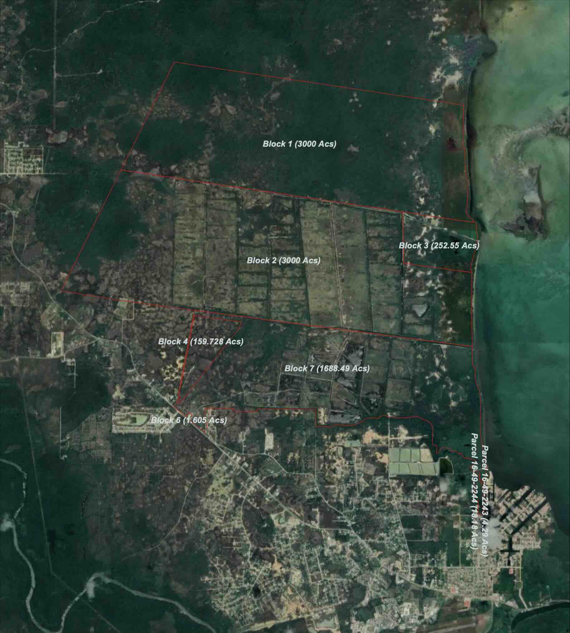
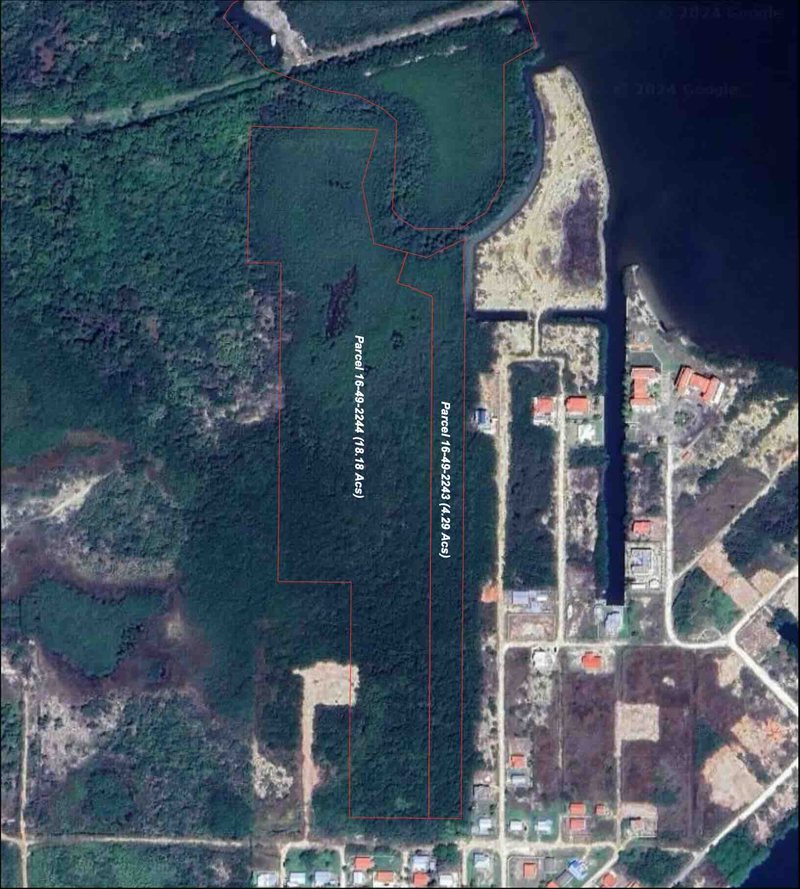
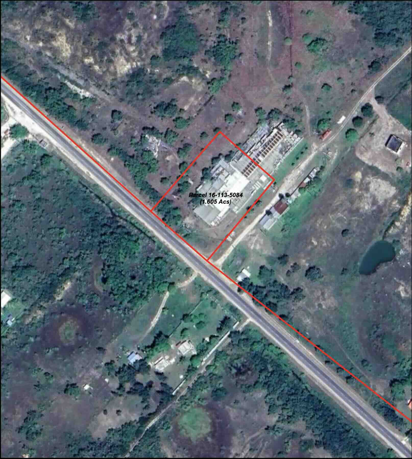
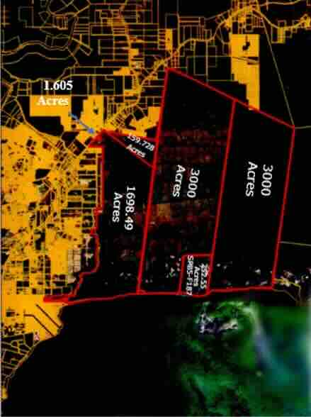
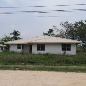
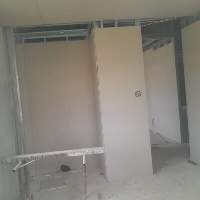
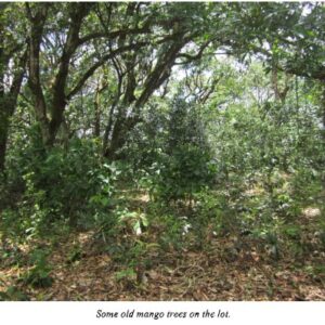
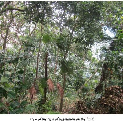
Description
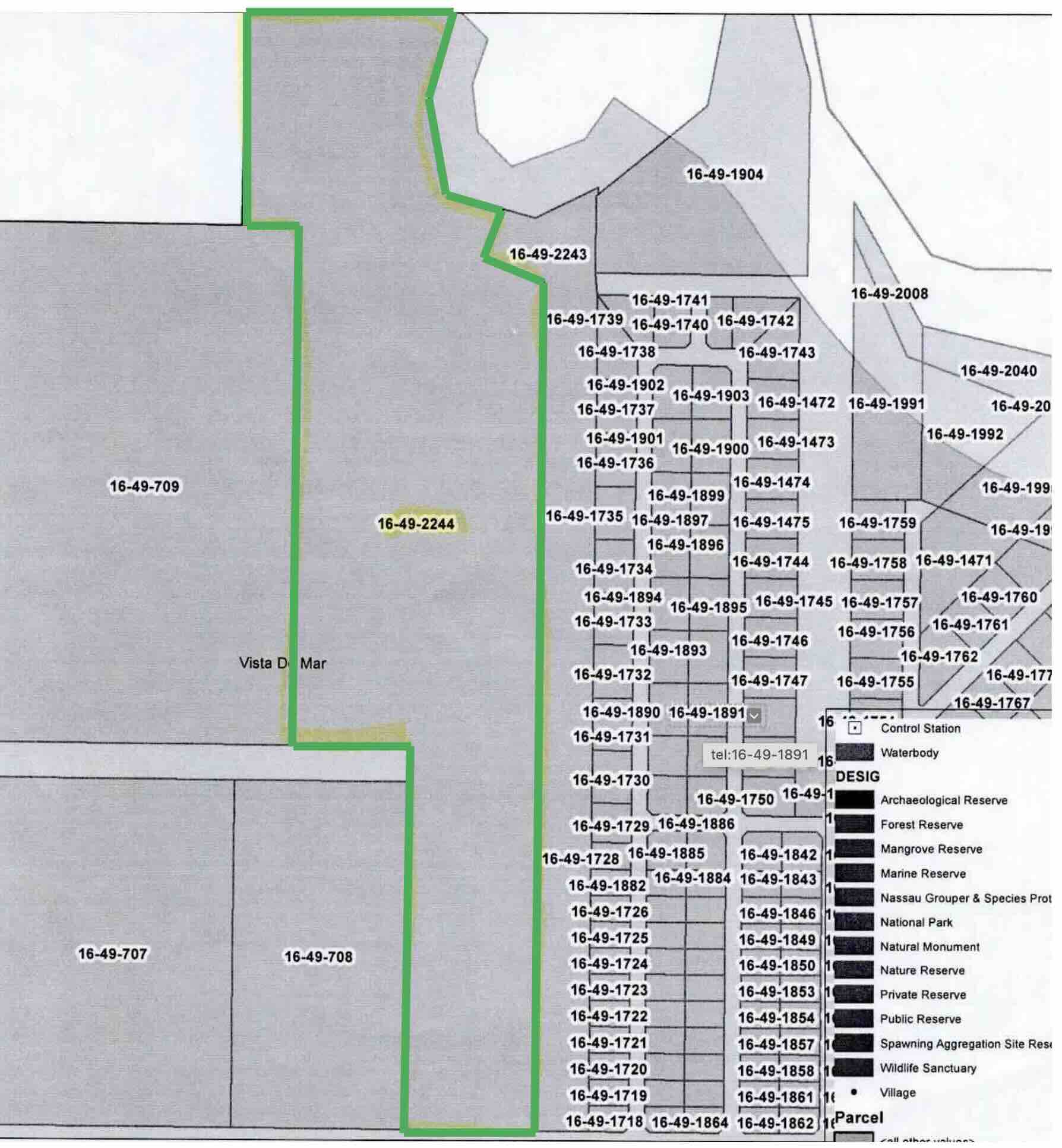
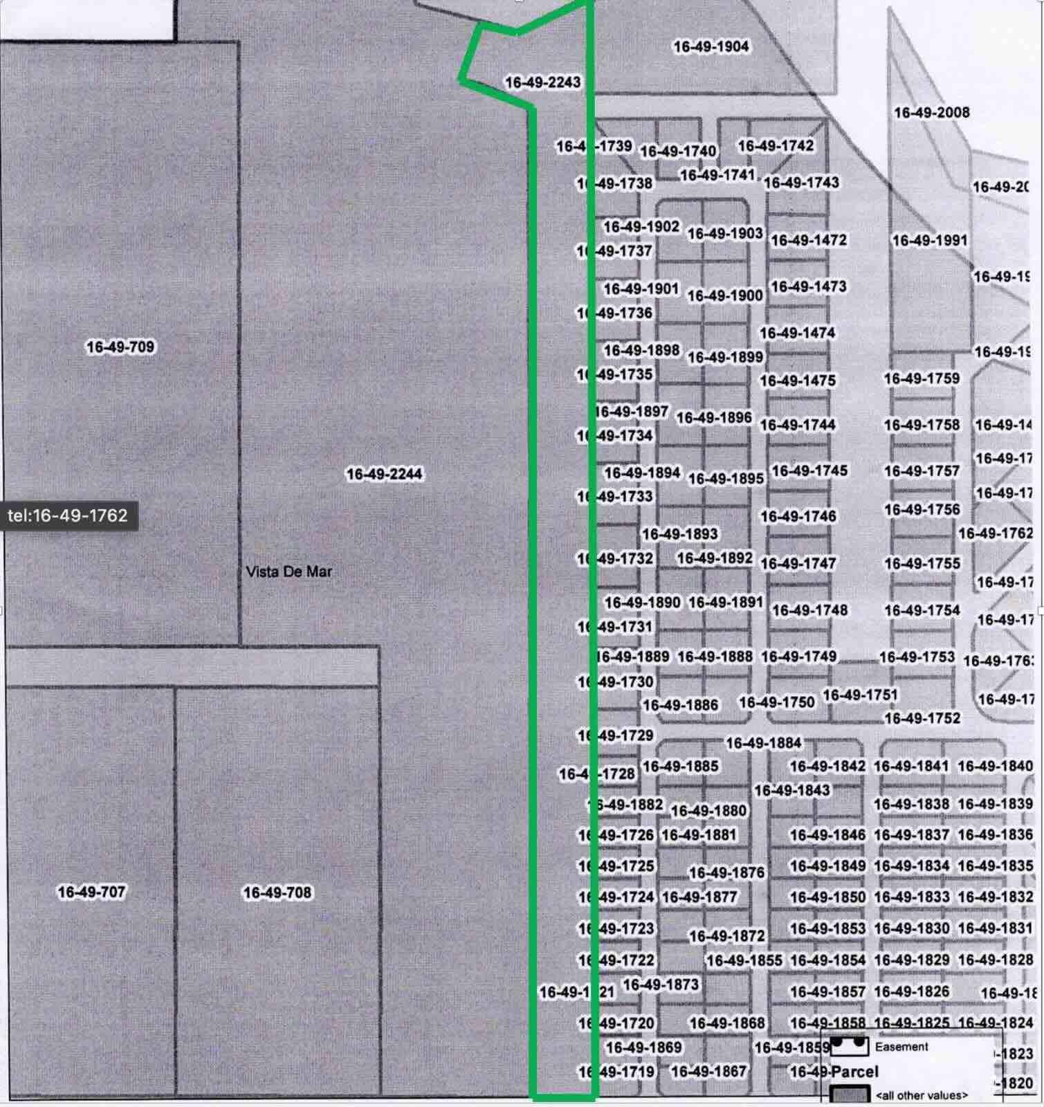
REGISTRATION SECTION – Vista del Mar
BLOCK – 16
PARCELS – 2243 + 2244 ……… AND
REGISTRATION SECTION – Ladyville/Lord’s Bank
BLOCK – 16
PARCELS – 5084 + 11728 + 11729 ………. And
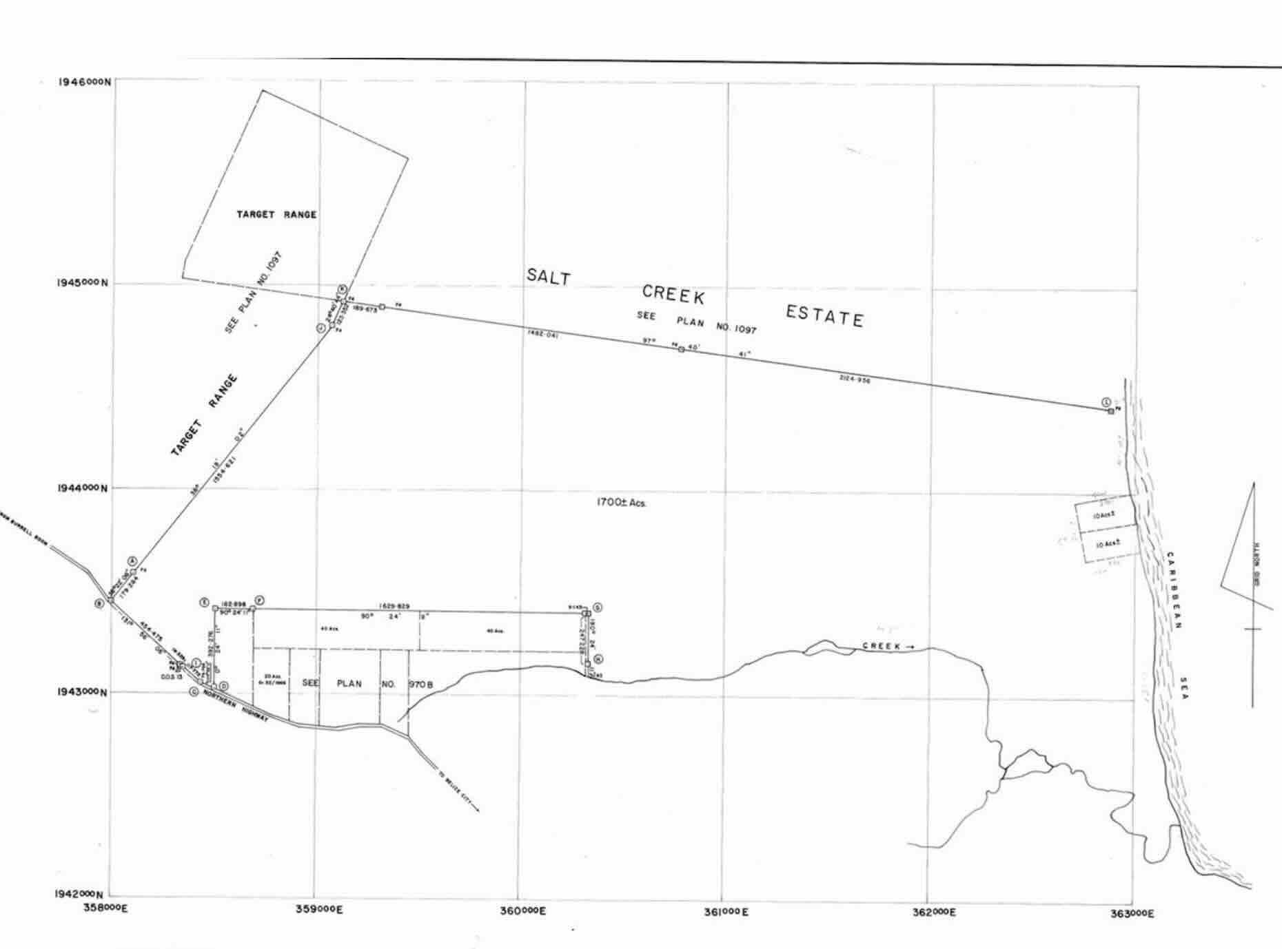
ALL THAT piece or parcel of land situate in the Sea Coast being a portion of Salt Creek Work, commencing at a concrete pillar on the sea coast on the southern side of a road reserve, the said concrete pillar being an approximate distance of 4,010 feet north of the eastern extremity of the Southern boundary of Salt Creek work in a straight line, thence along the southern side of the road reserve on a bearing N 82 42’ 45” W for a distance of 3,706.94 feet to a concrete pillar thence on a bearing of N O I” 39′ 55″ W for a distance of 2,773 79 feet to a concrete pillar thence on a bearing of S 82’ 42″ 45″ E for a distance of 3,929 74 feet to a concrete pillar on the Sea Coast, thence in a Southerly direction along the Sea coast to the concrete pillar at the point of commencement, the said piece or parcel of land containing 252.55 acres and comprising 8 SE and 9 SE and a road reserve as shown on a plan recorded by H.D. Flowers, Certified Land Surveyor at the General Registry, Belize City in SPB 5 at Folio 187 TOGETHER with all buildings and erections standing and being thereon. …….AND
ALL THAT piece or parcel of land containing approximately 6,000 acres, situate on the Sea Coast, approximately 2 Miles South at Potts Creek Lagoon, being the South portion of Salt Creek Work the subject of a First Certificate of Title registered in Volume 4 Folio 1170 and a Transfer Certificate of Title registered in Volume 8 Folio 300 and being more particularly describe as follows: Commencing at a concrete pillar on the Sea Coast marking the South East corner of the said Salt Creek Work, thence on a bearing of N 82′ 40′ 3O” N for a distance of 22,434.36 feet to a concrete pillar marking the South West corner of the said Salt Creek Work, Thence on a bearing of N 25’ 58′ 00″ for a distance of 13,780.80 feet to a concrete pillar thence on a bearing of S 82’ 40’ 30’ 30″ E to the Sea Coast Thence along the Sea Coast in a Southerly direction to the concrete pillar at the point of commencement SAVE AND EXCEPT that portion thereof containing approximately 3.000 acres which is described in a Transfer Certificate of Title favor of Nova Companies (Belize) Limited dated the 2nd day of March 1998 and registered in the Land Titles Register in Volume 33 at Folio 66 TOGETHER with all buildings and erections standing and being thereon.
……..AND
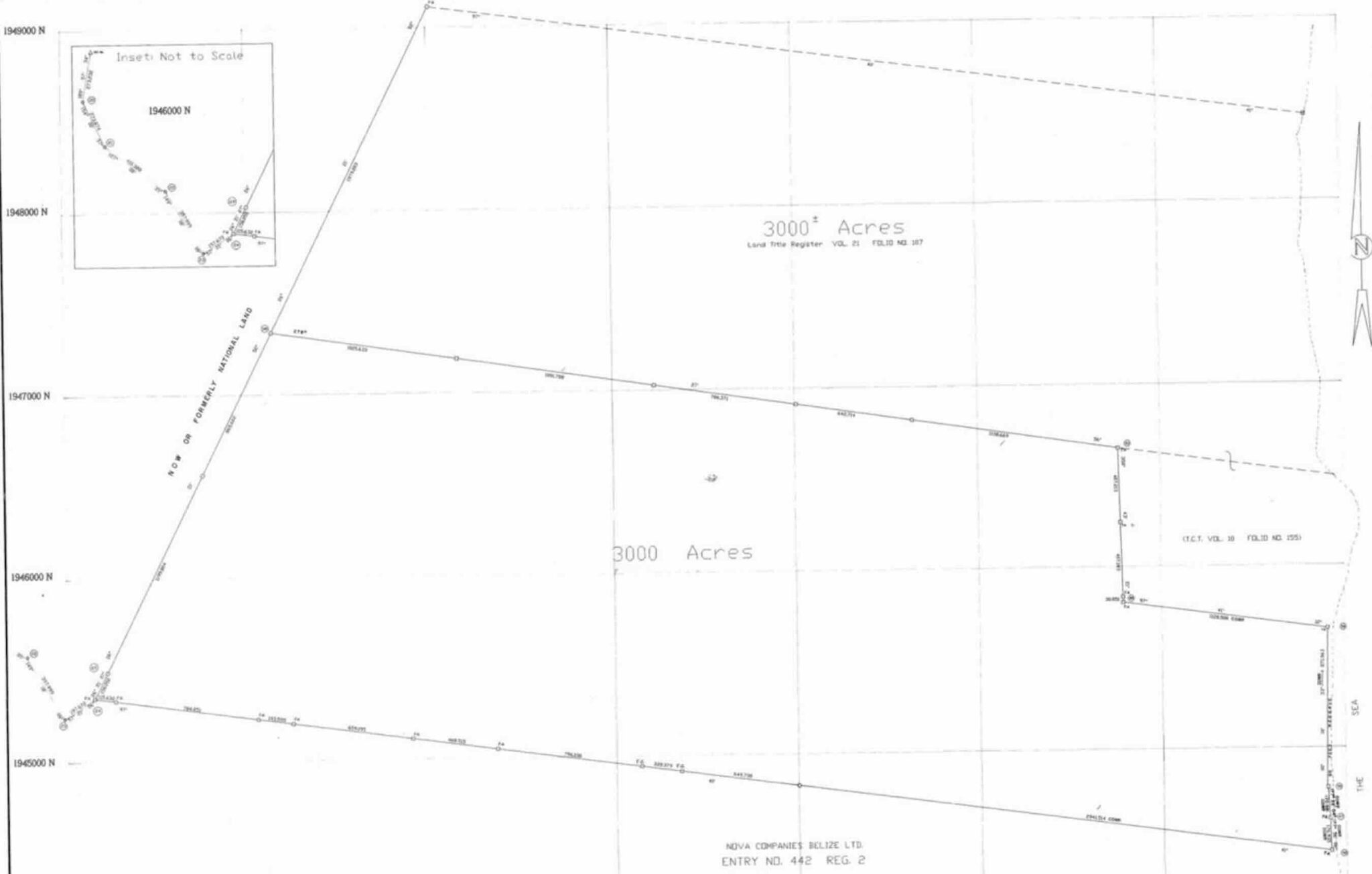
ALL THAT piece or parcel of land situate at Salt Creek Estate in the Belize District containing 3000 acres and being more particularly described as follows: Commencing at a concrete pillar o the sea coast at the South East corner of Salt Creek Estate and on the North East Corner of lands the property of Nova Companies (Belize) Ltd. the said concrete pillar having Universal Transfer Mercator (UTM) Grid Designation 0 362 917 .161 meters eastings and 1,944 433.410 meters northings; thence on a grid bearing of 277 degrees 40 minutes for a distance of 6829.469 meters to a concrete pillar being the South West corner of the said Salt Creek Estate which said concrete pillar has UTM Grid Destination of 356 148.936 meters eastings and 1,944 433.410 meters northings thence along the western boundary of Salt Creek Estate which boundary divides the said estate from lands now or formerly National Lands on a Grid bearing of 26 degrees 21 minutes 52 seconds for a distance of 2223.518 meters to a concrete pillar having a UTM Grid designation of 357 136 .320 meters eastings and 1,947 338.237 meters northings, thence on a Grid bearing of 98 Degrees 27 minutes 36 seconds for a distance of 4685.175 meters to a concrete pillar having UTM Grid Designation of 361 770.448 meters Easting and 1,945 648.510 meters northings, said concrete pillar being at the North West corner of property described in Transfer Certificate of Title Volume 10 at Folio Number 155; thence on a grid bearing of 178 degrees 43 minutes 21 seconds for a distance of 845.247 meters to a concrete pillar at the South West Corner of the said property described in TCT Volume 10 at Folio No. 155 and has UTM Grid Designation of 361 789.292 meters eastings and 1,945 803.473 meters northings; thence along the south boundary of the said UTM Grid Designation of 362 907.660 meters eastings and 1,945 652.532 meters northings; thence along the sea coast and its South East corner which concrete pillar has point of commencement. The said 3000 Acre piece or parcel of land is delineated on Plan of a survey by John H. Hertular, Licensed Land Surveyor which plan is authenticated and is recorded in Surveyors’ Register number 11 at Entry Number 3347 at the Lands and Surveys Department TOGETHER with all buildings and erections standing and being thereon.
ALL CONTIGUOUS PARCELS BEING SOLD IN ONE LOT:
PARCEL SIZES:
Parcel 2243 – 4.29 Acres + Parcel – 2244 – 18.18 Acres + Parcel 5084 – 1.605 Acres + Parcel 11728 – 159.728 + Parcel 11729 – 1689.70 Acres + 252 Acres + 3000 Acres + 3000 acres
Being all CONTIGUOUS PARCELS of land with access to the Phillip Goldson Highway near Mile 12 (Old Nova Shrimp Farm) extending all the way to Maxboro, Sandhill Village, then along the Salt Creek Estate Line to the Caribbean Sea extending back up to Vista Del Mar TOGETHER with all buildings and erections standing and being thereon, the freehold property of Messrs. Sunny City Development Company Limited)
GOOGLE LINK:


