Showing 10–18 of 23 results
-
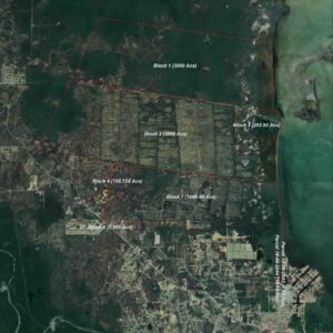
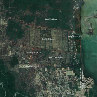
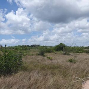
995 ACRES SITUATE AT INTERSECTION POTTS CREEK ROAD AND WESTERN BOUNDARY SALT CREEK WORK, BELIZE DISTRICT
Starting bid: $500,000.00ALL THAT piece or parcel of land containing 995 acres situate on the intersection of Potts Creek Road and the western boundary of Salt Creek Work and as more particularly described as follows: commencing at a concrete pillar on the western boundary of Salt Creek, the said concrete pillar being about 2,390 feet south of the intersection of Potts Creek Road and said western boundary of Salt Creek Work, thence along the western boundary of the Salt Creek Work on a bearing of N. 6 44’ 30” E for a distance of 1,790.00 feet to a concrete pillar, thence along the said western boundary of Salt Creek Work on a bearing of N. 6 13’ 03” E for a distance of 4,578.70 feet to a concrete pillar, thence on a bearing of S. 83’ 47” E for a distance of 1,150 feet to a concrete pillar, thence on a bearing of N. 6 13’ E for a distance of 2,800.00 feet to a concrete pillar, thence on a bearing of S. 83 47’ E for a distance of 5,282.63 feet to a concrete pillar, thence on a bearing of S. 6 13’ W for a distance of 4,280.80 feet to a concrete pillar, thence on a bearing of N. 83 47’ W for a distance of 600 feet to a concrete pillar, thence on a bearing of S. 6 13’ W for a distance of 1,987.00 feet to a concrete pillar, thence on a bearing of N. 83 47’ W for a distance of 3,276.00 feet to a concrete pillar, thence on a bearing of S. 6 13’ W for a distance of 2,900.00 feet to a concrete pillar, thence on a bearing of N. 83 47’ W for a distance of 2,573.40 feet to a concrete pillar at the point of commencement, the immediately preceding piece or parcel of land is delineated on a plan recorded at the General Registry by H. D. Flowers, Certified Land Surveyor, in S. P. B. 6, Folio 171 TOGETHER with all buildings and erections standing and being thereon. (Being 995 acres of land situate on the intersection of Potts Creek Road and the western boundary of Salt Creek Work, the freehold property of Messrs. Smugglers Run Holdings Limited)
GOOGLE LINK:
-
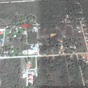
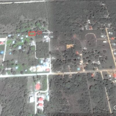
LOT NO. 1 NORTHEAST MIRAGE AND PEREZ ROADS, LADYVILLE, BELIZE DISTRICT:
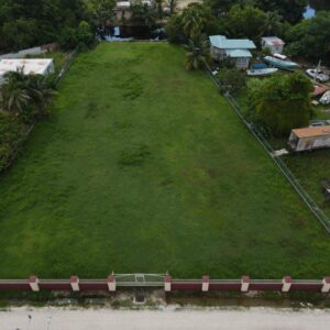
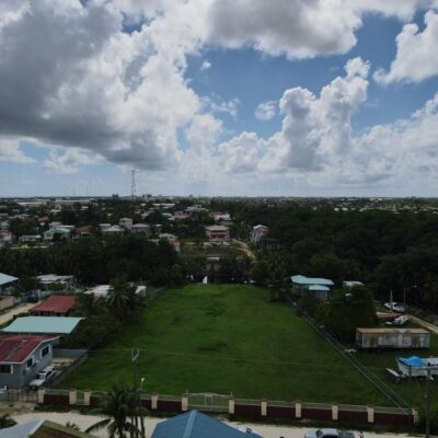
Auction EndedALL THAT piece or parcel of land being Lot No. 1 containing 599.80 square yards situate in Ladyville Village, Belize District held under Deed of Conveyance dated 29th June 2012 TOGETHER with all buildings and erections standing and being thereon. (Being a vacant lot situate northeast of Mirage & Perez Roads, Ladyville, Belize District, the freehold property of Mr. Martin Jimenez Jr.)
GOOGLE LINK:
-
-
-
Parcel No. 188 Ridge Lagoon Estate, Burrell Boom Village, Belize District:
REGISTRATION SECTION – Ladyville/ Lord’s Bank
BLOCK – 7
PARCEL – 188
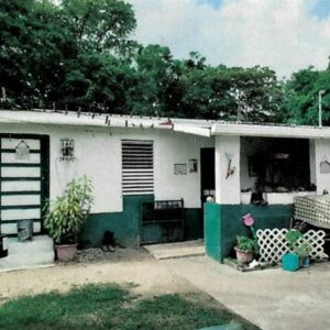
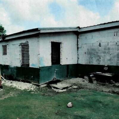
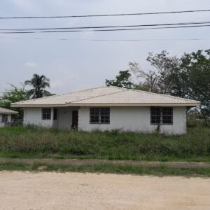
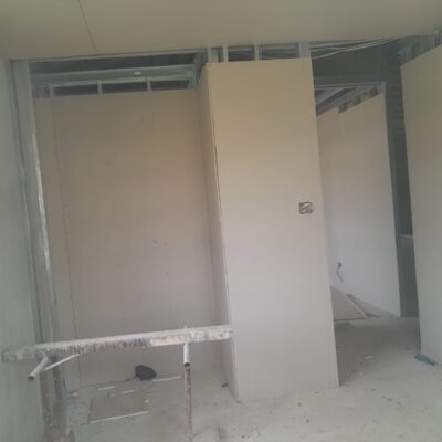
(Being an incomplete concrete bungalow dwelling house [1,310.06 Sq. ft.] containing 3 bedrooms, 2 bathrooms + living/dining/kitchen + front and back porch and lot [610.145 S.M.] situate at Ridge Lagoon Estate, Burrell Boom Village, Belize District, the freehold property of Mr. Pablo Enrique Vasquez)
Financing from the DFC is available on a case-by-case basis.
GOOGLE LINK: https://maps.app.goo.gl/MAwVwLNjF2VHsbFA8
-
-
